- On sale! -€372.00
- -€372.00
- New


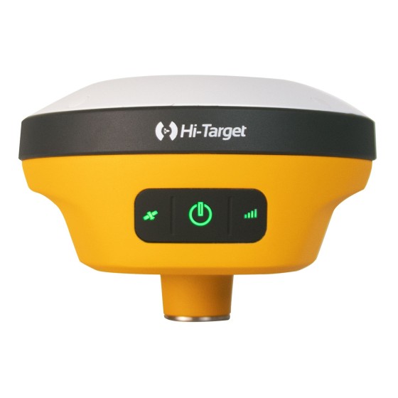
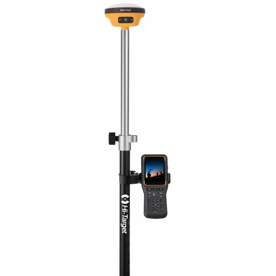
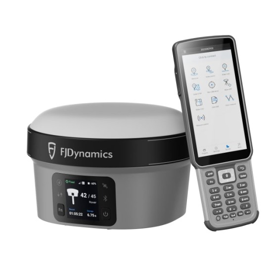
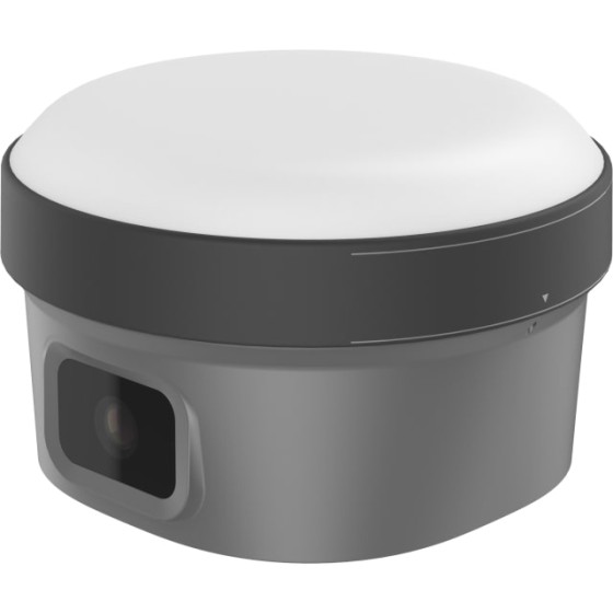
The KQ M10T GNSS Receiver offers unmatched performance, superior accuracy, and robust reliability. Whether you’re conducting land surveys, construction projects, or precise mapping, the KQ M10T delivers precise positioning data with speed and efficiency. Experience the future of GNSS technology with the KQ M10T.
 Security policy
We re using Security Certificate GeoTrust OV with 256bit encryption.
 Delivery policy
Orders places before 14:00, working days, usually are shipped at the next working day.
 Return policy
You have the right to return your purchase within 14 days (terms may apply).
Designed for surveyors, engineers, and mapping professionals, this receiver supports multiple GNSS signals, including GPS, GLONASS, BDS, GALILEO, QZSS, and SBAS. With a fast 20Hz update rate and less than 1-second re-capture time, the KQ M10T ensures real-time accuracy even in dynamic conditions.
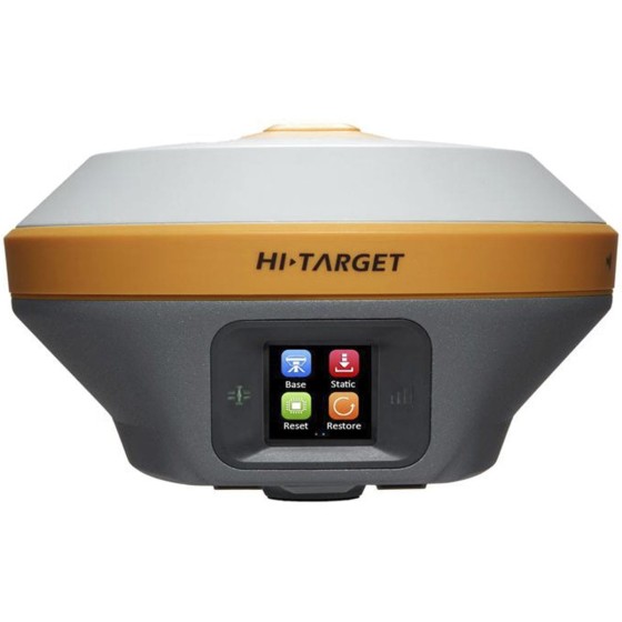
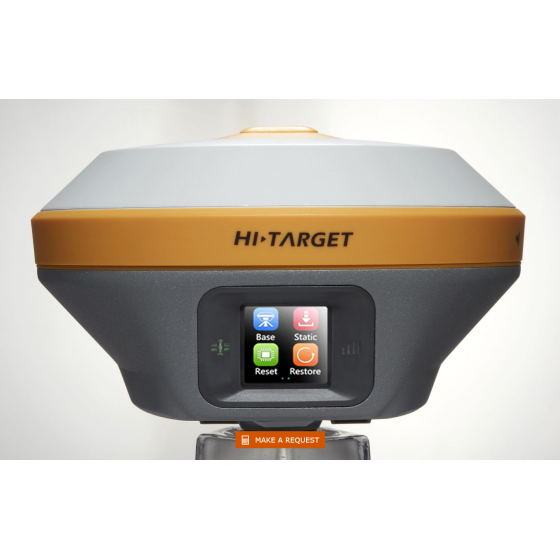
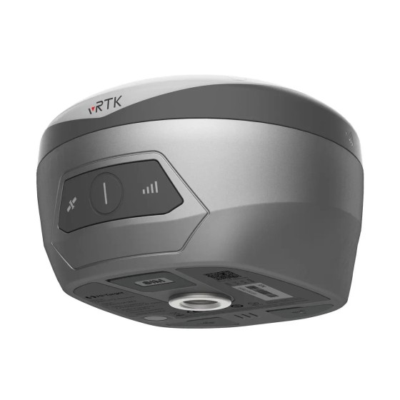
Built for reliability and durability, the KQ M10T features Bluetooth, WiFi, LTE connectivity, and 32GB internal memory. Its robust construction with an IP68 rating and magnesium alloy material withstands harsh environments. Trust the KQ M10T GNSS Receiver for precise and efficient positioning in any setting.
Key Features:
Supper Tracking Capacity: 1408 channels and full frequency RTK engine and full star RTK technology. Can against most of the complex conditions.
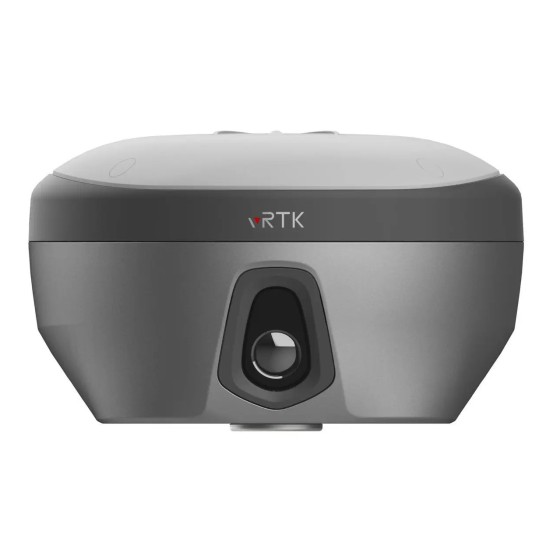
Robustness & Durability: IP68 protection level, with over 30 times 2 meter fall down testing and water immerse inspection, it’s Seamless design to protect in the cruel field working.
VPN advanced function: To reduce the inconvenience and improve our distributor Work efficiency. this function highly removes the anxiety from surveyors, The Manufacturer can still remote and access the receiver anywhere to check the receiver status after making the VPN setting.
AR stakeout: Immersive AR visual stakeout to vividly display ground stakeout points in the software, obviously improving the working efficiency.
4th generation IMU sensor: The newest IMU sensor makes the Tilt working more convenient, it eliminates the loss of Inertial-Measurement-Usable Status in most scenarios, no need for frequency to shake the carbon pole.
Reliable Precision: Support the full-frequency film RTK positioning solution. The embedded multifrequency point anti-interference technology. Significantly improved the initialization speed, measurement accuracy, and reliability in complex environments.
GNSS
Positioning Accuracy
Communication
User interface
Indicator
Physical
Environment
Power
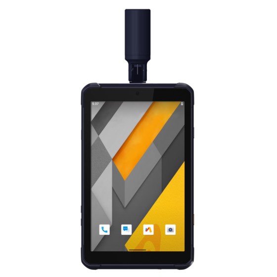
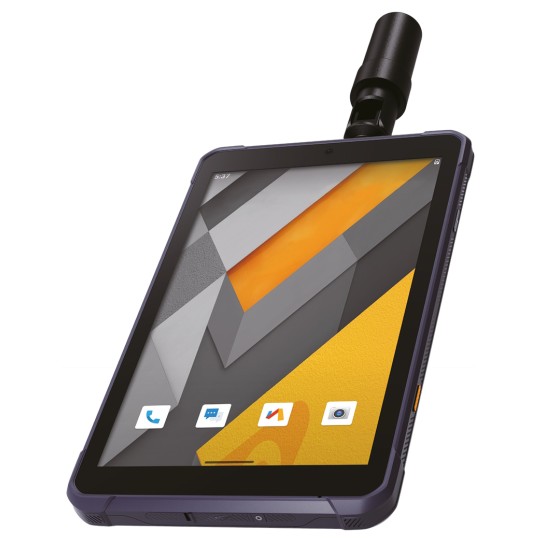
HC8 Controller
HC8 is high performance handheld terminal device, specially designed for surveying industry, it used lager capacity to working more than 15 hours. 5.5 inches sunlight -readable screen for easy outdoor working , Android 11 OS system with smooth operation. Digital keyboard and IP67 protection level to meet any surveying cruel environment.
Specifications:

Data sheet