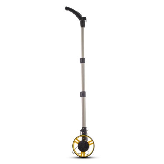
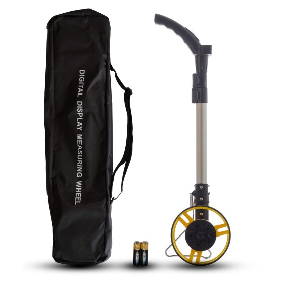
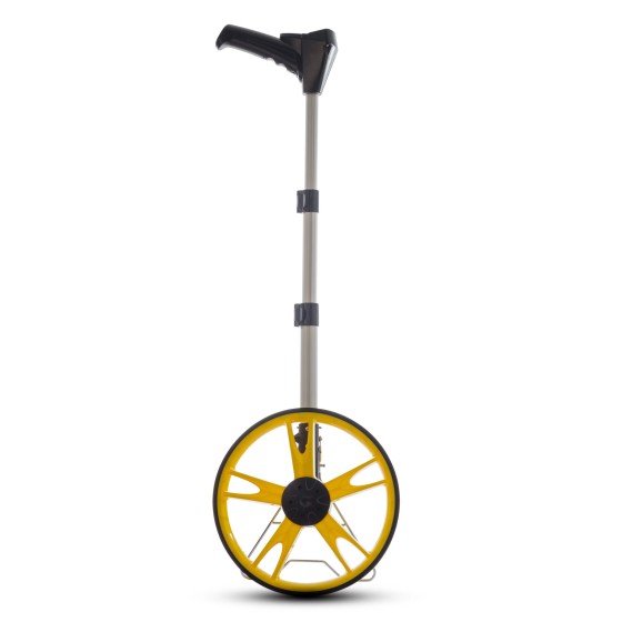
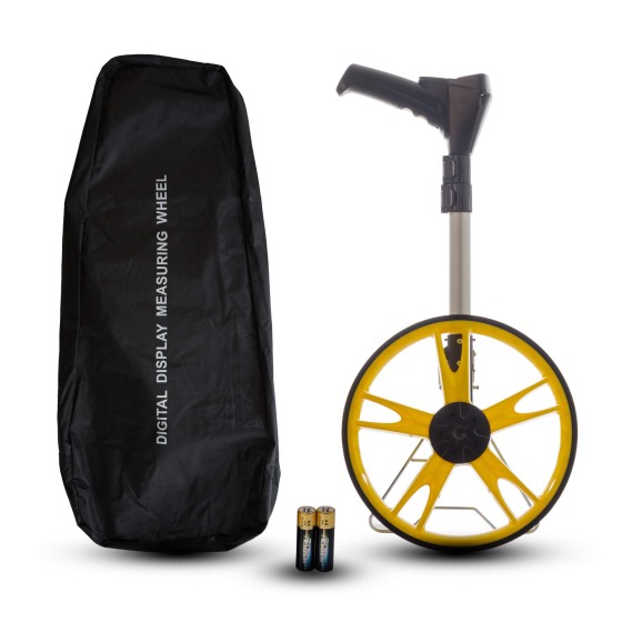
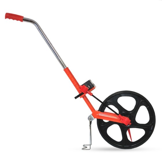
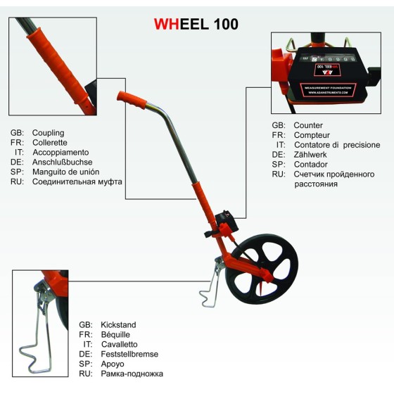
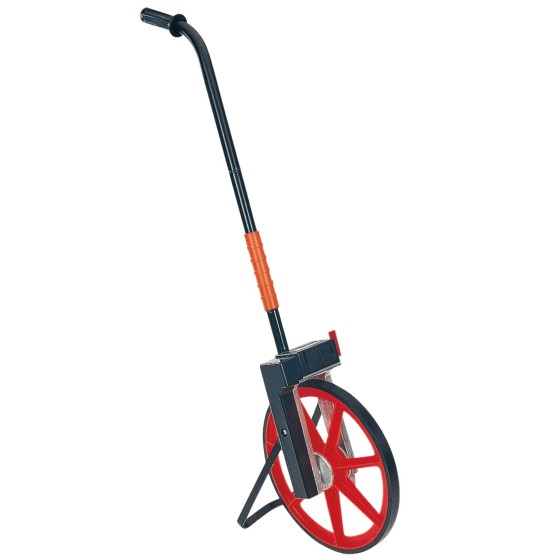
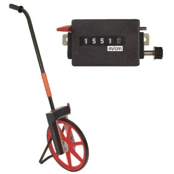
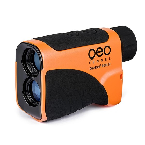
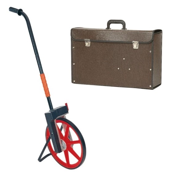
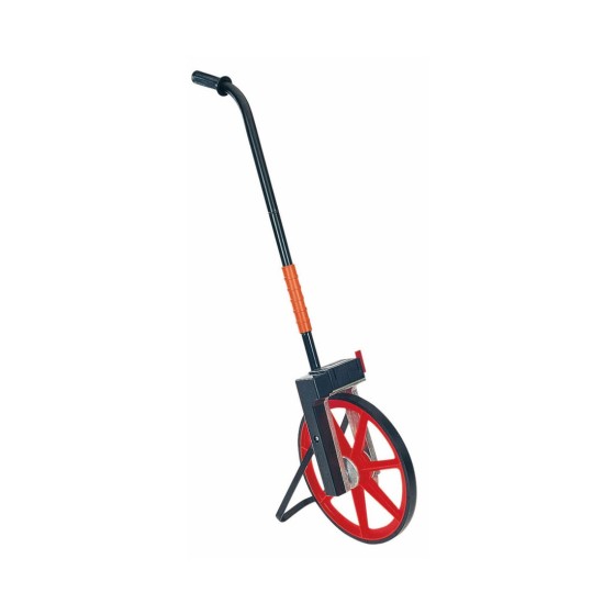
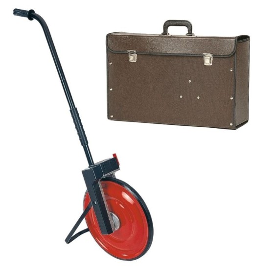
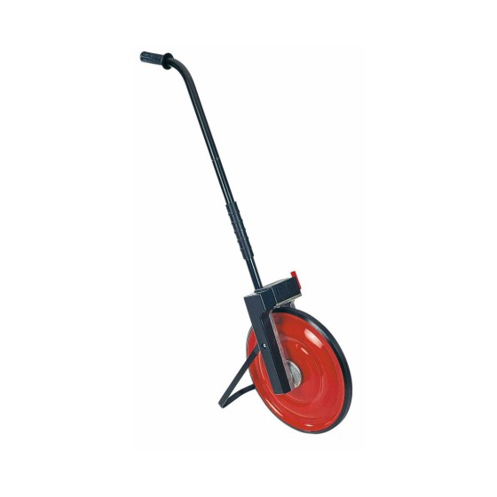
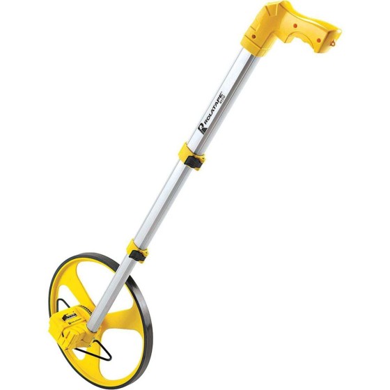
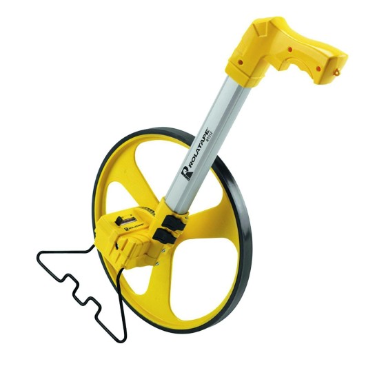
proNivo 201-31-312M Measuring Wheel
proNivo Spoke measuring wheel, made of aluminium
Filter By
Brand
Brand
Price
Price
Use
Use
Scope Magnification
Scope Magnification
Tilt Sensor
Tilt Sensor
Screen
Screen
Range
Range
Digital Pointfinder
Digital Pointfinder
Tripod connection 1/4"
Type
Type
Automatic End-Piece
Automatic End-Piece
Features
Features
proNivo Spoke measuring wheel, made of aluminium
Electronic road measuring wheel ADA Wheel 50 Digital is the instrument for distance measurement. Road wheels are used in road building, in STSI, for planning and mapping, when measuring the distance of outside communication lines, for cadastral surveys.
Electronic road measuring wheel ADA Wheel 1000 Digital is the instrument for distance measurement. Road wheels are used in road building, in STSI, for planning and mapping, when measuring the distance of outside communication lines, for cadastral surveys.
ADA Wheel 100 Measuring wheel is used for road marking even if the surface is rough. Measuring wheel allows to calculate square, length of the buildings and fences. It has foldable handle.
Geo-Fennel GeoDist® 600LR Laser distance meter for range and speed measurement
Set: M10 - Precision Measuring Wheel & Μ10Κ Case
Easy to use metal detector
Designed for the detection and localisation of manhole covers, site marks, pipes etc. Perfect for site security by detecting hidden metallic objects.
Set: M10S - Precision Measuring Wheel & Μ10Κ Case
The RD312 Metal Locator enables operators to locate lost, buried or hidden metal manhole covers and access points.
Features:
The TruPulse 200L was designed to make professional measurements at an affordable price. This versatile handheld laser measures much more than just distance and angle. The TruPulse 200L uses advanced TruTargeting technology and premium built-in features for reliable results trusted by true professionals.
The C.A.T4+ offers the same locating performance as the C.A.T4 but with addition of Depth measurement, allowing better identification of the route of buried utilities.
The C.A.T4 is the standard model of the range. Using it with the Genny4 transmitter, operators will be able to find more buried utilities, faster to drive best locating practice, reduce the number of cable strikes, and dig more safely.
The C.A.T4+ offers the same locating performance as the C.A.T4 but with addition of Depth measurement, allowing better identification of the route of buried utilities.
This model adds GPS position to the usage data recorded. Bluetooth connectivity allows seamless transfer of usage data to the C.A.T Manager Online cloud based system for near real-time monitoring of operators’ performance.